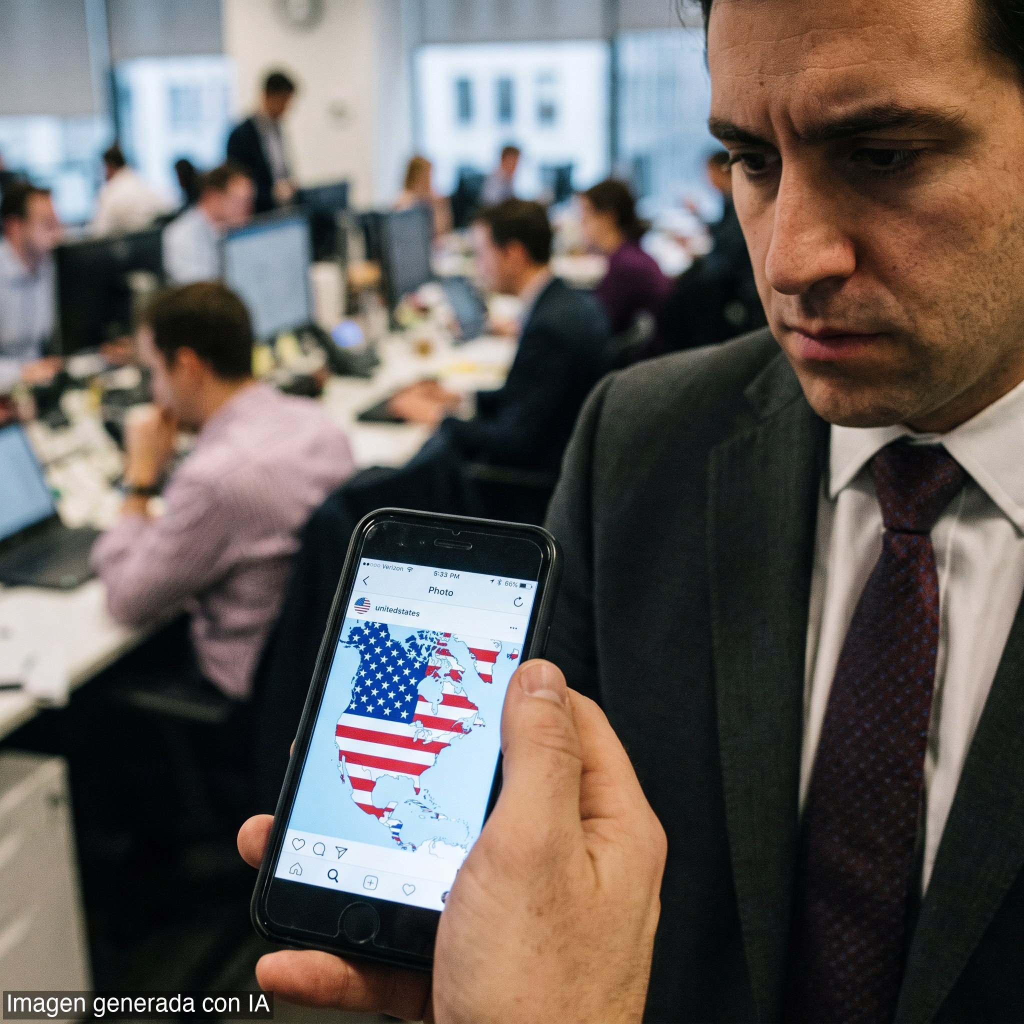
Driving the news: President Trump posted the map Monday on Truth Social. It showed several foreign countries covered by the American flag. No accompanying statement explained the image.
The big picture: This is not the first time Trump has signaled expansionist ambitions. He has called Canada the potential '51st state.' He has demanded Denmark hand over Greenland. He ruled out using force to acquire it — but the demand stands.
By the numbers: Canada retaliated against U.S. auto tariffs with levies on over 700 American goods. The trade war is live. The map adds a new layer of friction.
Zoom in: Mexico and the Caribbean islands are a newer addition to the rhetorical map. Trump has not previously discussed annexing them. Cuba appears on the image — and Trump has already said Cuba is 'next' on the administration's regime-change agenda.
Over the weekend, Trump also posted an image renaming the state of New Mexico as 'New America.'
The bottom line: Whether the map is provocation, negotiating pressure, or genuine doctrine, the pattern is consistent. Trump uses symbolic gestures to shift the Overton window before policy moves. Allies and adversaries alike are watching to see which of these images becomes a blueprint.